Results: 59
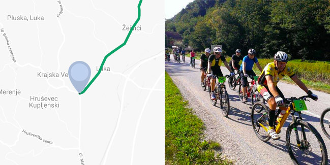
The Zagorje Route
Najvažnija ruta u županiji je državna ruta br. 6 koja vodi od obale kod Rijeke po povijesnoj cesti ‘Karolina’, preko Vrbovskog do Zagreba, dalje preko Varaždina do blizine Murskog Središća te nastavlja prema Budimpešti i Beču.
Range Državne i prekogranične rute |
Length 35km |
Difficulty 4/5 |
Elevation 445m |
Surface 100% asfalt |
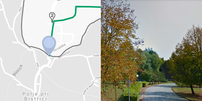
The Toplice Route
The second most important cycling route crosses the County from the border with Slovenia near Kumrovec via Krapinske Toplice and Bedekovčina to Marija Bistrica, leads to Komina in Zagreb County and further towards Križevci and Bjelovar.
Range Državne i prekogranične rute |
Length 68km |
Difficulty 5/5 |
Elevation 1100m |
Surface Pretežno asfalt |
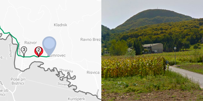
The Sutla Route
Treća prometno najvažnija ruta u županiji vodi dolinom rijeke Sutle uz granicu sa Slovenijom od Kumrovca preko Zagorskih Sela, Huma na Sutli i Lupinjaka nedaleko izvora Sutla do Đurmanca, gdje se spaja s državnom rutom Trakošćan.
Range Državne i prekogranične rute |
Length 44km |
Difficulty 4/5 |
Elevation 580m |
Surface 100% asfalt |
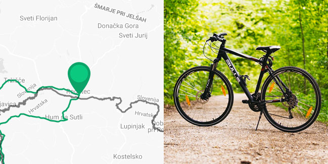
Cross-Border Ride&Bike Route – River Sutla
This short, but sweet cycling route will take you through the valley of the river Sutla, that is, through both Slovenian and Croatian part of the valley. The route is suitable for all the categories of cyclists, because there are not too many ascents and the entire route leads over the asphalted roads.
Range Državne i prekogranične rute |
Length 42km |
Difficulty 2/5 |
Elevation 225m |
Surface 100% asfalt |
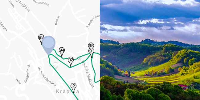
Circular Country Route
Among the cycling routes of county significance the most important place holds the Circular county route that connects all four routes of the state significance and both cross-border routes, and with its 163 kilometres it is the longest route in the Krapina-Zagorje County.
Range Zagorske županijske rute |
Length 165km |
Difficulty 5/5 |
Elevation 3600m |
Surface Pretežno asfalt |
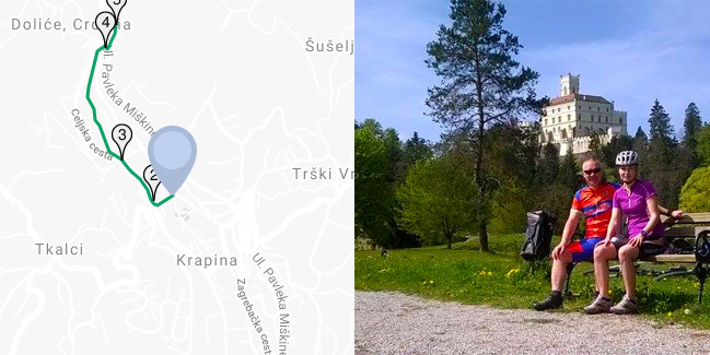
The Trakošćan Route
Ruta vodi od Krapine preko Macelja i Trakošćana do Bednje, čini najpovoljniju biciklističku vezu od Zagreba i Krapine do najpoznatijeg hrvatskog dvorca Trakošćana, a važna je i kao alternativa glavnoj državnoj Zagorskoj ruti.
Range Državne i prekogranične rute |
Length 28km |
Difficulty 3/5 |
Elevation 400m |
Surface Pretežno asfalt |
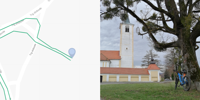
The Laterna Magica Route – Zlatar
The writer Slavko Batušić described in his book “Laterna magica” his childhood in Zlatar, which he spent here at the beginning of the 20th century. The book describes in detail what the City looked like at that time, what the culture and way of life was like. Read the book, get on your bike and experience Zlatar in your own way taking into account information from the early 20th century.
Range MTB/Gravel rute |
Length 31.6km |
Difficulty 3/5 |
Elevation 619m |
Surface asfalt / makadam / zemlja |
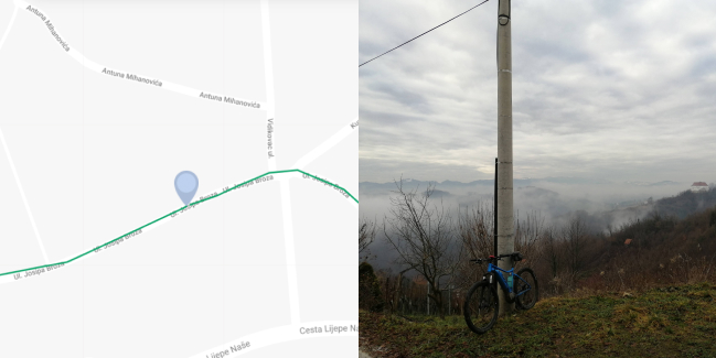
The Hiže Mazanke Route – Kumrovec
Cilj biciklističke rute „Hiže mazanke“ je upoznati cikloturiste sa nekadašnjom gradnjom kuća za život ljudi i „blaga“ (domaćih životinja). Vožnja kreće ispred hostela Kumrovec. Krenite u smjeru starog sela Kumrovec kojega obavezno detaljno razgledajte i proučite Hiže mazanke i zidanke. Zagorske hiže pretežito su hiže mazanke.
Range MTB/Gravel rute |
Length 28.1km |
Difficulty 4/5 |
Elevation 723m |
Surface asfalt / makadam / zemlja |
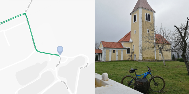
The Bedeković Route – Bedekovčina
Ruta Bedeković je ruta koja zahtjeva jaču fizičku kondiciju i svakako bolje vještine upravljanja biciklom. Zbog brojnih križanja sa glavnim prometnicama, možete ju prilagoditi vlastitim mogućnostima, tako da krenite bez straha i uživajte u plemićkom kraju Bedekovčine, gdje će svaki žitelj rado pomoći ako negdje zapnete.
Range MTB/Gravel rute |
Length 29.3km |
Difficulty 4/5 |
Elevation 720m |
Surface asfalt / makadam / zemlja |
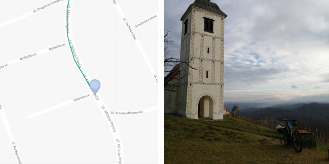
The Ratkaj Route – Desinić
Desinić je karakterističan kao malo zagorsko neurbano mjesto, s prostranom gotičkom crkvom sv.Jurja na mjesnom trgu, uz čovjeka seljaka koji se mučio radeći cijeli dan na zemlji s vrlo skromnim mogućnostima. Ratkayi Velikotaborski, 1502.g. postaju vlasnici Velikog Tabora, nakon obitelji Celjski darovnicom od kralja Maksimilijana II.
Range MTB/Gravel rute |
Length 22.2km |
Difficulty 4/5 |
Elevation 756m |
Surface asfalt / makadam / zemlja |
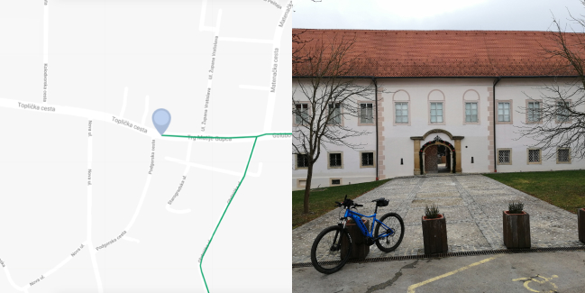
The Feller Route – Donja Stubica
Ruta dobiva ime po poznatom ljekarniku Eugenu Viktoru Felleru i njegovoj obitelji koji je ogroman poduzetnički uspjeh ostvario u Donjoj Stubici. Najpoznatiji je po proizvodnji čudotvornog eliksira Elsa Fluid kojeg je nazvao po nadimku svoje majke Else. Da biste čuli ostatak priče o obitelji Feller, vodimo Vas na Fellerovu rutu gdje ćete uživati u bojama, mirisima i pogledima na Donju i Gornju Stubicu.
Range MTB/Gravel rute |
Length 34.7km |
Difficulty 4/5 |
Elevation 899m |
Surface asfalt / makadam / zemlja |
The Badl Route – Krapinske Toplice
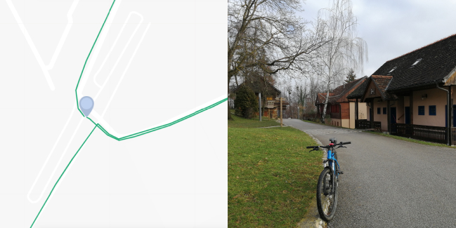
Krapinske Toplice procvat doživljavaju 1859. godine kada poznati trgovac Jakob Badl kupuje postojeće i gradi nove kupelji. Pored njih također se gradi hotel, lječilište, restoran (Bellevue) te se formiraju i sade parkovi i aleja. Danas su Krapinske Toplice termalno lječilište koje nudi opuštanje i odmor u termalnoj vodi, saunama i masaži. Badlova ruta biciklistička je ruta kojom ćete obići prekrasan brežuljkasti kraj Krapinskih Toplica.
Range MTB/Gravel rute |
Length 21.1km |
Difficulty 3/5 |
Elevation 731m |
Surface asfalt / makadam / zemlja |

The Toma Gajdek Route – Veliko Trgovišće
Pučka škola u Velikom Trgovišću s radom je počela 1860., zalaganjem velikog ilirca Tome Gajdeka, tadašnjeg župnika u Mariji Gorici. Nastava se održavala u župnoj kleti u Jezeru koja nije bila pogodna za nastavu. U Velikom Trgovišću sagrađena je nova školska zgrada 1891., a u listopadu je počela pouka djece. Veliko Trgovišće rodno je mjesto prvog hrvatskog predsjednika dr. Franje Tuđmana.
Range Obiteljske rute |
Length 7.8km |
Difficulty 1/5 |
Elevation 90m |
Surface 100% asfalt |
The Stubica Heritage Route – Donja Stubica
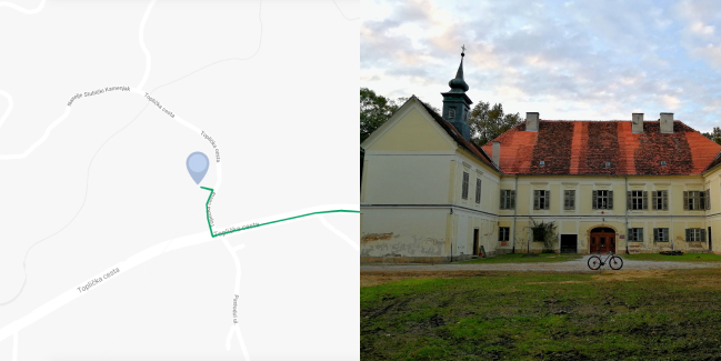
Stubički kraj turistički je najpoznatiji po Matiji Gupcu i Seljačkoj buni koja se na ovim prostorima održala 1573. godine. No stubički kraj sadrži bogatu kulturno-povijesnu baštinu koju ćete otkriti na biciklističkoj ruti “Stubička baština“ u svojih 16.5 km. Ruta je obiteljskog karaktera, lagana, bez dugačkih uspona, namijenjena MTB/Gravel i trekking biciklistima.
Range Obiteljske rute |
Length 16.5km |
Difficulty 2/5 |
Elevation 167m |
Surface asfalt / makadam / zemlja |
The Little Scientists Route – Oroslavje
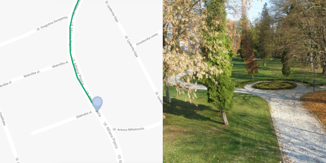
Područje Oroslavja se u povijesnim izvorima od 13. st. pojavljuje pod nazivom Possessio Chernech (posjed Črnec), a ime Oroslavje prvi put se spominje 1474. godine. Ime Oroslavje najčešće se povezuje s imenom ptice orao – simbolom snage i slobode, ali još uvijek ostaje nepoznanica. Možda otkrijete diljem rute…
Range Obiteljske rute |
Length 13km |
Difficulty 2/5 |
Elevation 86m |
Surface asfalt / makadam / zemlja |
The Kapelščak Route – Stubičke Toplice
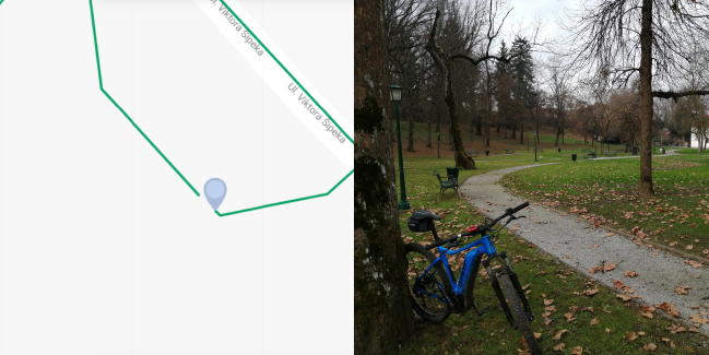
Stubičke Toplice smještene su u južnom dijelu Hrvatskog zagorja, podno sjevernih obronaka gore Medvednice, na mjestu sutoka potoka Vidak i Topličina. Povijesno se prvi pisani trag o Stubičkim Toplicama nalazi 1209. godine u povelji ugarsko-hrvatskog kralja Andrije II. Mnoge generacije provele su ljetne mjesece na bazenima Hotela Matija Gubec ispred kojega kreće vožnja kroz Stubake.
Range Obiteljske rute |
Length 10km |
Difficulty 2/5 |
Elevation 138m |
Surface asfalt / makadam / zemlja |
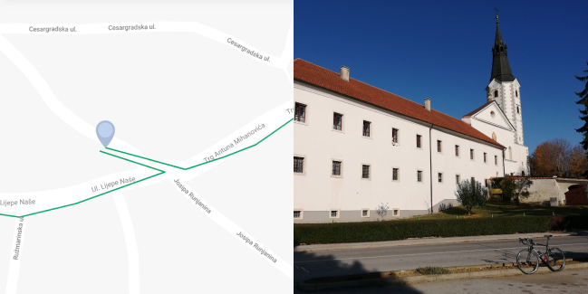
The Erdody Route – Klanjec
Klanjec, mali grad velikih i plemenitih ljudi, bogate povijesti i tradicije, prekrasne prirode i arhitekture. Najveći obol današnjoj slikovitosti i uređenosti grada dala je plemićka obitelj Erdödy koja je gospodarila ovim krajem puna četiri stoljeća! Dvorac Novi Dvori Cesargradski, iako danas djelomično urušen, jedan je od najznačajnijih dvoraca u Hrvatskom zagorju. Krenite u obilazak Klanjca biciklom i uživajte.
Range Obiteljske rute |
Length 10.2km |
Difficulty 2/5 |
Elevation 233m |
Surface asfalt / makadam / zemlja |
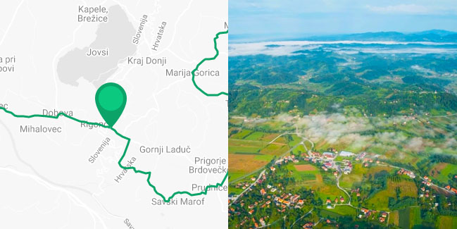
Cycling Route Harmica – Rigonce
This beautiful cycling route will take you through the cross-border area between Croatia and Slovenia. This area is famous for its numerous natural, cultural, tourist and historical sites, dotted with hills and valleys, streams and rivers.
Range Državne i prekogranične rute |
Length 307km |
Difficulty 5/5 |
Elevation 3100m |
Surface 100% asfalt |
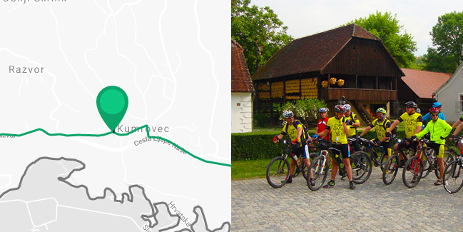
Following the Paths of Croatian nobles
This cycling route leads through the valuable historical localities, characteristic for the Zagorje region. The route begins in the center of Kumrovec, hometown of the world famous statesman, marshal Josip Broz Tito.
Range Zagorske županijske rute |
Length 49km |
Difficulty 3/5 |
Elevation 480m |
Surface 100% asfalt |
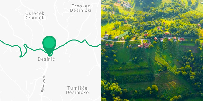
Unforgettable Views from Vinagora
This route will take you down the asphalted road that winds between houses, vineyards and orchards to one of the most beautiful views of Zagorje (to the west from Pregrada) – Vinagora (407 MSL), with the church of the Visitation of the Blessed Virgin Mary, through idyllic and charming hills and through the lowland areas of the county.
Range Zagorske županijske rute |
Length 37km |
Difficulty 4/5 |
Elevation 700m |
Surface 100% asfalt |
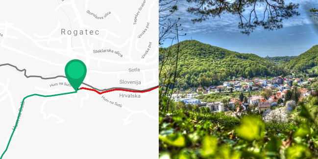
Through the Scenery of playful Hills
This short cycling route will take you through the outermost northwestern part of the Krapina-Zagorje County, known for its 140-year-old tradition of glass making, the Municipality of Hum na Sutli.
Range Zagorske županijske rute |
Length 15km |
Difficulty 2/5 |
Elevation 220m |
Surface 100% asfalt |
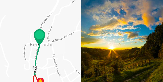
Route of Belvederes
This cycling route is full of vantage points, which can be reached through stronger and steeper ascents, so it is somewhat difficult. Because of the difficulty of ascent, but also because of its beauty, especially notable is the belvedere of the green and forested Kunagora (522 m) above Pregrada, known for dag pistol shooters and tradition of the Easter dag pistol shootings.
Range Zagorske županijske rute |
Length 33km |
Difficulty 4/5 |
Elevation 740m |
Surface 100% asfalt |
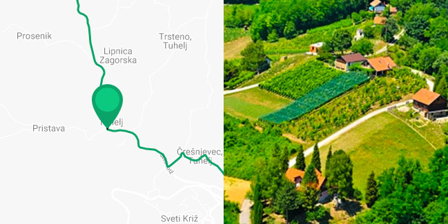
Following the Hot Springs
This route goes over a more flat terrain, with less ascents and it is more suitable for lighter, recreational ride through two beautiful valleys and famous spa resorts of Zagorje.
Range Zagorske županijske rute |
Length 38km |
Difficulty 2/5 |
Elevation 260m |
Surface 100% asfalt |
Following the Historical paths of the Krapina Neanderthal man
The beauty of this cycling route is that it leads you through historical and natural beauties of Krapina surroundings and the middle part of Zagorje.
Range Zagorske županijske rute |
Length 30km |
Difficulty 3/5 |
Elevation 460m |
Surface 100% asfalt |
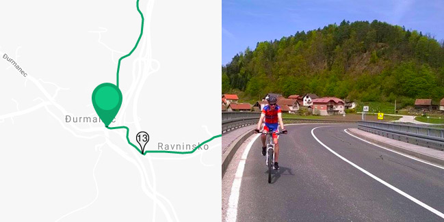
Over the Slopes of the Mountain Macelj
The beauty of each cycling route is the opportunity to experience a certain area to the fullest. This cycling route will take you through the northern part of the Krapina-Zagorje County and partially through the neighboring Varaždin County.
Range Zagorske županijske rute |
Length 38km |
Difficulty 3/5 |
Elevation 470m |
Surface 100% asfalt |
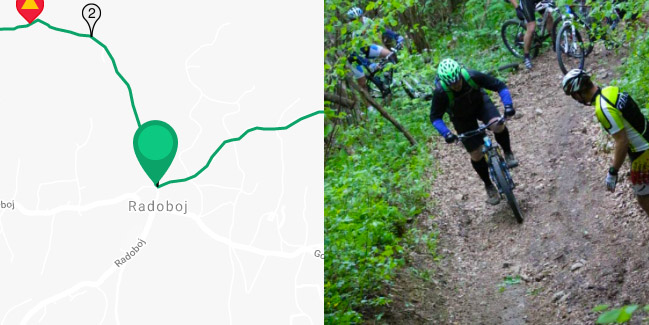
Over the Slopes of Strahinjčica
This cycling route, which leads through the surroundings of Radoboj and Gornje Jesenje, is full of preserved nature and beautiful landscapes, so characteristic for Zagorje – interwoven series of green hills and valleys.
Range Zagorske županijske rute |
Length 23km |
Difficulty 3/5 |
Elevation 600m |
Surface 100% asfalt |
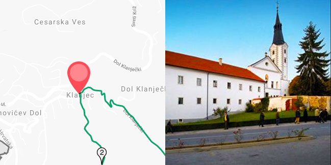
Route Towards Klanjec and the Valley ot the river Sutla
This medium-long route will take you through the valley of the river Sutla and southwestern Zagorje and it will connect you with the network of cycling routes in Zagreb County.
Range Zagorske županijske rute |
Length 41km |
Difficulty 3/5 |
Elevation 480m |
Surface 100% asfalt |
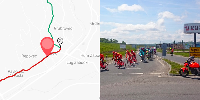
Through the Surroundings of Zabok and Sv. Križ Začertje
This beautiful cycling route will take you through the area of Zabok and Sv. Križ Začretje. The route begins in the center of Zabok and continues towards northeast, to the intersection, where you turn left. As you continue uphill, the traffic intensity reduces.
Range Zagorske županijske rute |
Length 32km |
Difficulty 3/5 |
Elevation 370m |
Surface 100% asfalt |
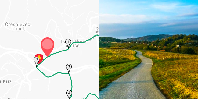
Through the picturesque Hills and Valleys
This short cycling route will take you through the area south of Tuheljske Toplice (Tuhelj spa resort) and the picturesque valley of the stream Bezavina to the manor Vižovje and further through the valley of the river Horvatska.
Range Zagorske županijske rute |
Length 22km |
Difficulty 2/5 |
Elevation 207m |
Surface 100% asfalt |
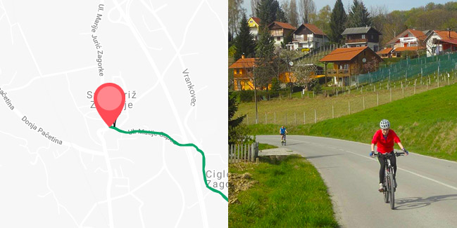
Vranyczany Route
This cycling route, full of viewpoints and wonderful nature, begins in the center of Sv. Križ Začretje. At the beginning or at the end of the ride, be sure to visit the complex of the castle Vranyczany.
Range Zagorske županijske rute |
Length 47.5km |
Difficulty 4/5 |
Elevation 580m |
Surface 100% asfalt |
Through the Surroundings of Stubičke Toplice
This short and light recreational cycling route will take you through the area of Stubičke Toplice, Stubička Slatina and Kraljev Vrh.
Range Zagorske županijske rute |
Length 20km |
Difficulty 1/5 |
Elevation 240m |
Surface 100% asfalt |

Through Oroslavje along the Valley of the River Krapina
The route begins in the beautiful park of the castle Oroslavje, where you start towards the village of Bračak. Drive carefully in the first part of the route until the railway line.
Range Zagorske županijske rute |
Length 30km |
Difficulty 3/5 |
Elevation 430m |
Surface 100% asfalt |
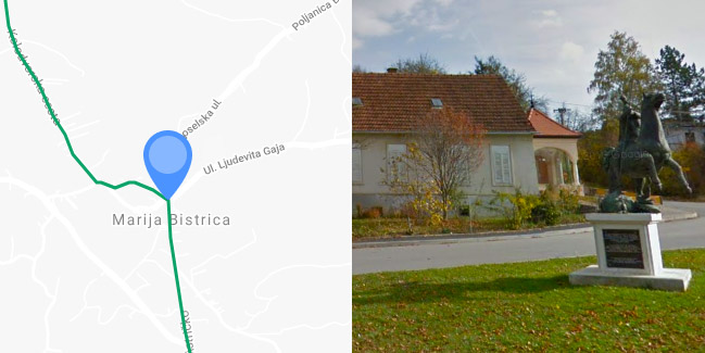
Roads of Seljačka buna (Peasants’ Revolt)
This cycling route is very significant because it connects some of the most significant sites of the southeastern Zagorje, such as Peasants’ Revolt Museum and the Marian shrine in Marija Bistrica.
Range Zagorske županijske rute |
Length 36km |
Difficulty 3/5 |
Elevation 550m |
Surface 100% asfalt |
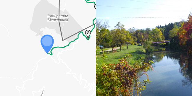
Through the Nature Park Medvednica and Stubica region
Extra hard route! This cycling route will lead you through the northeastern part of the nature park Medvednica and the picturesque hills of Stubica region. The route is very difficult and only good mountain bikes should be used. Most of the parts of the route are marked with hiking marks.
Range Zagorske županijske rute |
Length 50km |
Difficulty 5/5 |
Elevation 1460m |
Surface asfalt / makadam / zemlja |
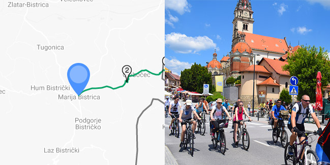
From Marija Bistrica to Zelina
This is a very short and easy cycling route, which will take you from Marija Bistrica to Zelina in the Zagreb County. When you come near Zelina, you can continue the ride down the cycling routes of the Zagreb County. One-way route.
Range Zagorske županijske rute |
Length 18km |
Difficulty 1/5 |
Elevation 350m |
Surface 100% asfalt |
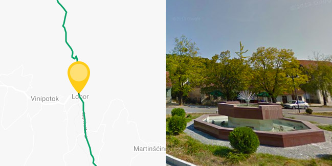
Through the Surroundings of Lobor and western Ivanščica
The cycling route begins in the center of Lobor. Continue towards north in direction of Stari Golubovec. The route goes over the asphalted road with less traffic, along the stream Reka.
Range Zagorske županijske rute |
Length 31km |
Difficulty 3/5 |
Elevation 390m |
Surface 100% asfalt |
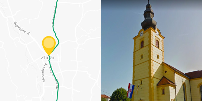
Along the Castles, Manors and Hills of in the Heart of Zagorje
The cycling route begins in the center of Zlatar, where you must take the Varaždinska Street towards north and the village of Martinšćina. The road from here is peaceful. Pass through the village of Borkovec to the Y intersection with crucifix, where you must turn left towards Martinšćina.
Range Zagorske županijske rute |
Length 49km |
Difficulty 4/5 |
Elevation 400m |
Surface 100% asfalt |
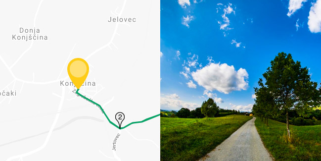
Down the hills, valleys and belvederes of northeastern Zagorje
Start the ride in the center of Konjščina. Do not worry if you arrive by car, because there are enough parking lots. From the center of Konjščina, start riding towards southeast over the railway lines to the Y intersection.
Range Zagorske županijske rute |
Length 42km |
Difficulty 4/5 |
Elevation 480m |
Surface 100% asfalt |
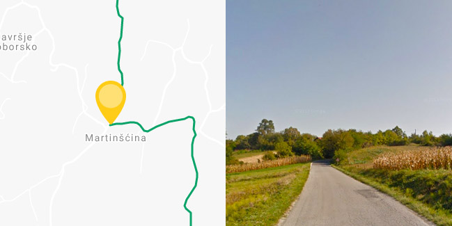
Over the Slopes of Ivanščica
Extra hard route! The cycling route will take you over the southern slopes of Ivanščica and picturesque hills through the villages of Belec and Gornja Batina. The route is very difficult and only good mountain bikes should be used. Descent from Ivanščica is especially difficult because of the demanding terrain. That is why we recommend everybody to use – when returning from the peak of Ivanščica – the same road they came from.
Range Zagorske županijske rute |
Length 27km |
Difficulty 5/5 |
Elevation 930m |
Surface asfalt / makadam / zemlja |
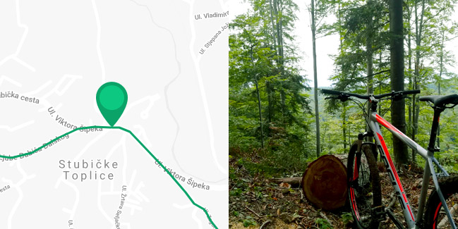
The Gubec Country
Jedina ruta koju su trasirale lokalne turističke zajednice u Županiji u duljoj je varijanti duga 42, a u kraćoj 34 km. Povezuje gradove Oroslavje i Donju Stubicu te općine Stubičke Toplice i Gornja Stubica u Stubičkom ‘Gupčevom’ kraju.
Range Zagorske županijske rute |
Length 42km |
Difficulty 5/5 |
Elevation 1300m |
Surface Pretežno asfalt |
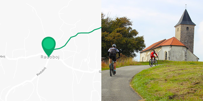
Radoboj – The Roman Road Route
Ruta ‘Rimska cesta’ također je duga 6 km i ide cijela po asfaltu kao ruta ‘Mirna’, ali je linijskog tipa i s vrlo malo prometa na cijeloj trasi.
Range Lokalne rute |
Length 5.7km |
Difficulty 3/5 |
Elevation 170m |
Surface 100% asfalt |
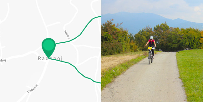
Radoboj – The Quiet Route
Ruta ‘Mirna’ smještena u podnožju Strahinjčice kružnog je tipa u obliku trokuta stranica dugih 2 kilometra i prolazi lijepim brdovitim krajolikom punim vinograda s pogledima na velik dio Županije.
Range Lokalne rute |
Length 5.9km |
Difficulty 2/5 |
Elevation 140m |
Surface 100% asfalt |
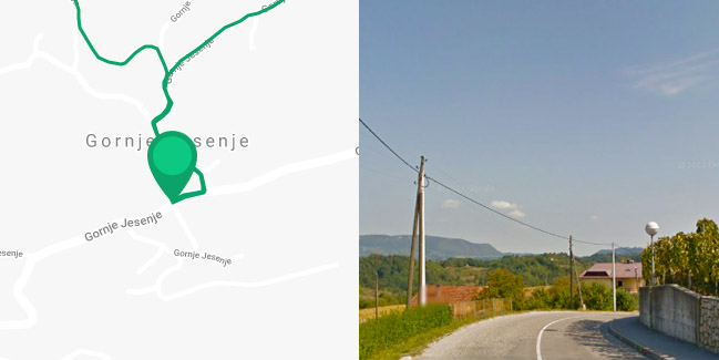
Jesenje – Route 1
Ruta započinje u središtu najvišeg zagorskog općinskog središta Gornjeg Jesenja na Strahinjčici.
Range Lokalne rute |
Length 10km |
Difficulty 3/5 |
Elevation 300m |
Surface 100% asfalt |
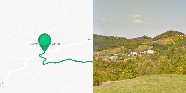
Jesenje – Route 2
Ruta također započinje u središtu Gornjeg Jesenja, ali najprije nakratko vodi prema zapadu, a onda skreće prema jugu i ide 3,7 km dugom i mjestimično dosta oštrom uzbrdicom do naselja Brdo Jesensko
Range Lokalne rute |
Length 12.7km |
Difficulty 3/5 |
Elevation 410m |
Surface 100% asfalt |
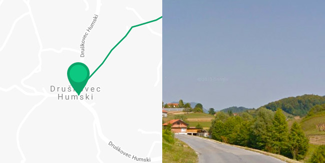
Hum na Sutli – Hiking and Cycling Trail
Općina Hum na Sutli, poznata po staklarskoj tradiciji i najvećoj tvornici staklenih boca u Europi, označila je 4,4 km dugu biciklističku rutu nazvanu ‘Šetno-biciklistička staza Druškovec – Orešje – Klenovec.
Range Lokalne rute |
Length 4.4km |
Difficulty 2/5 |
Elevation 130m |
Surface 100% asfalt |
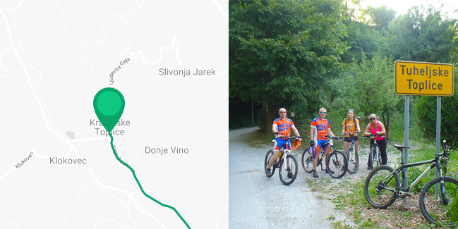
Krapinske Toplice and Tuhelj – Roads of the Two Springs 1
Ukoliko boravite u Krapinskim ili Tuheljskim Toplicama, a niste ljubitelj suviše napornih biciklističkih izleta, nudi vam se za Zagorje jedinstvena skoro posve ravna linijska ruta.
Range Lokalne rute |
Length 15.5km |
Difficulty 1/5 |
Elevation 160m |
Surface 100% asfalt |
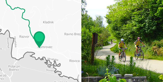
Kumrovec and Desinić – Cycling Route 1
Svega 12 km duga Biciklistička ruta 1 biser je među lokalnim rutama. Povezuje dva važna turistička odredišta te prolazi lijepim krajolikom po lokalnim uskim asfaltiranim cestama s neznatnim motornim prometom.
Range Lokalne rute |
Length 11.5km |
Difficulty 2/5 |
Elevation 270m |
Surface 100% asfalt |
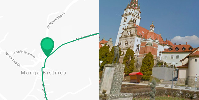
Marija Bistrica – Route 1
Ruta kreće iz Marije Bistrice s Trga Pape Ivana Pavla II, vodi prema jugu prvih 200 metara pješačkom zonom i 200 metara Zagrebačkom ulicom te skreće dolinom potoka Bistrice po uzbrdici za Podgorje Bistričko.
Range Lokalne rute |
Length 8km |
Difficulty 2/5 |
Elevation 180m |
Surface Pretežno asfalt |
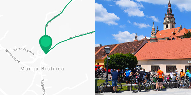
Marija Bistrica – Route 2
I Biciklistička Ruta 2 ima polazište u Mariji Bistrici, ali vodi prema sjeveru županijskom cestom za Konjšćinu.
Range Lokalne rute |
Length 6.5km |
Difficulty 2/5 |
Elevation 190m |
Surface Pretežno asfalt |
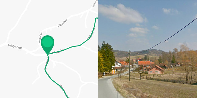
Marija Bistrica – Route 3
Ruta 3 počinje u zaseoku Kovačići udaljenom od Marije Bistrice 1,5 km prema istoku, odakle ruta skreće slikovitom lokalnom asfaltiranom cestom jugu.
Range Lokalne rute |
Length 12.8km |
Difficulty 3/5 |
Elevation 610m |
Surface Pretežno asfalt |
Marija Bistrica – Route 4
I Ruta 4 ima početnu točku u zaseoku Kovačići, od kojeg vodi na sjever istom trasom kao i Ruta 2, ovaj put uzbrdo 1,4 km po asfaltu i 800 metara po makadamu.
Range Lokalne rute |
Length 12.3km |
Difficulty 2/5 |
Elevation 210m |
Surface Pretežno asfalt |
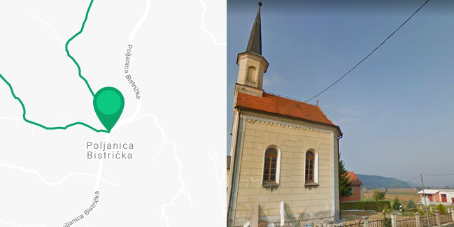
Marija Bistrica – Route 5
Ruta 5 počinje u Vinskom vrhu na Županijskoj cesti Marija Bistrica – Konjšćina, gdje prolazi i Ruta 2, ali odmah skreće u smjeru zapada na lokalnu mirnu usku asfaltiranu cestu prema Tugonici.
Range Lokalne rute |
Length 10.3km |
Difficulty 1/5 |
Elevation 140m |
Surface Pretežno asfalt |
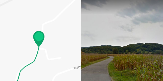
Marija Bistrica – Route 6
Ruta 6 jedina je linijska ruta u općini Marija Bistrica i služi kao poveznica ruta 5, 7 i 8. Polazna točka je u Tugonici odakle ruta ide ravnicom uz rijeku Krapinu 500 metara prema zapadu.
Range Lokalne rute |
Length 4.1km |
Difficulty 1/5 |
Elevation 30m |
Surface Pretežno asfalt |
Marija Bistrica – Route 7
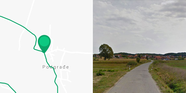
Ruta 7 polazi iz Podgrađa lokalnom mirnom asfaltiranom cestom prema jugu. Prvi kilometar ide ravnicom uz potok Bistricu, a onda skreće desno.
Range Lokalne rute |
Length 5.5km |
Difficulty 1/5 |
Elevation 120m |
Surface Pretežno asfalt |
Marija Bistrica – Route 8
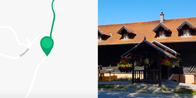
Najzapadnija bistrička ruta ima polazište u naselju Dubovec kod poznatog ugostiteljskog objekta „Lojzekova hiža“.
Range Lokalne rute |
Length 10km |
Difficulty 2/5 |
Elevation 190m |
Surface Pretežno asfalt |

Klanjec – The St. Florijan Route
Iako duga tek 6 kilometara i označena samo malim strelicama sa simbolom bicikla, ruta Klanjec – Sveti Florijan – Goljak Klanječki spada u najatraktivnije rute u Županiji.
Range Lokalne rute |
Length 5.7km |
Difficulty 2/5 |
Elevation 170m |
Surface Pretežno asfalt |
Tuhelj – Roads of the Two Springs 2
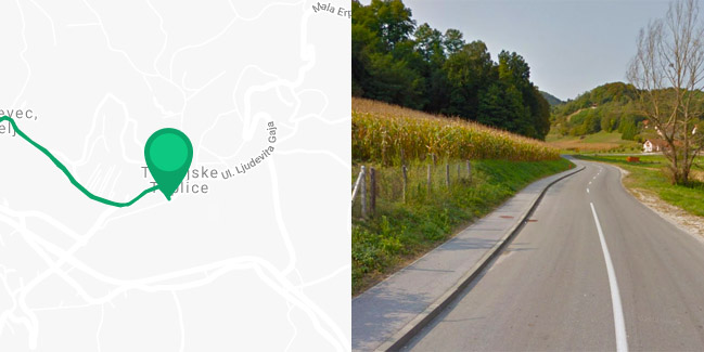
Za posjetitelje Tuheljskih Toplica nudi se još jedna lijepa i malo zahtjevnija ruta ‘Putovima dvaju izvora 2’.
Range Lokalne rute |
Length 20.8km |
Difficulty 3/5 |
Elevation 390m |
Surface 100% asfalt |
Zagorska Sela – Touring the Hills of Zagorje
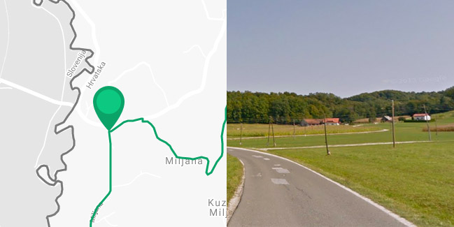
Ruta ‘Po zagorskim bregima’ također počinje u Miljani i ide isključivo po asfaltiranim cestama bez mnogo motornog promata, ali je kružnog tipa i nešto teža za vožnju zbog više oštrih strmina.
Range Lokalne rute |
Length 13.9km |
Difficulty 2/5 |
Elevation 290m |
Surface 100% asfalt |
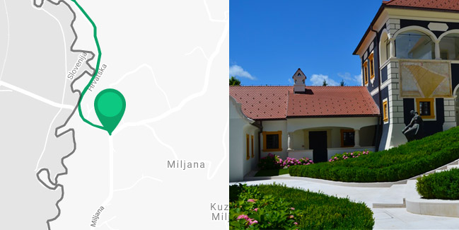
Zagorska Sela Uphill and Downhill
Ruta ‘Uzbrdo i nizbrdo’ počinje u slikovitom mjestu Miljana pokraj poznatog dvorca uz granicu sa Slovenijom i vodi na sjever dolinom rijeke Sutle.
Range Lokalne rute |
Length 10.8km |
Difficulty 1/5 |
Elevation 210m |
Surface 100% asfalt |

