Find the route for you

|

|

|

|

|

|

|

|

|

|

|

|
RANGE Local routes |
TYPE Circular |
LENGTH 12.3km |
SURFACE Mostly asphalt |
DIFFICULTY 2/5 |
POSITION south-east |
MARKS Local |
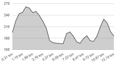
ELEVATION 210m |
LOWEST POINT 162m |
HIGHEST POINT 265m |
Marija Bistrica – Route 4
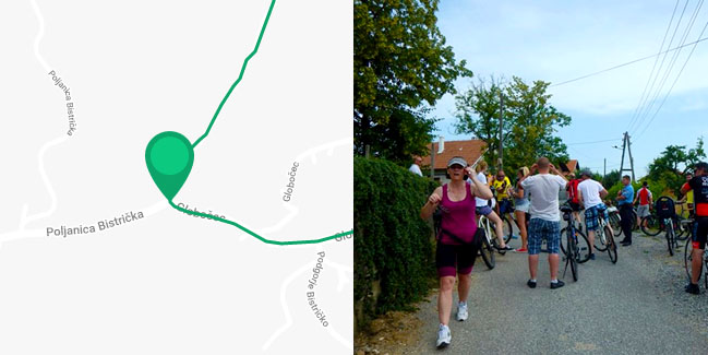
Globočec/Kovačići - Globočec - Sušobreg - Poljanica Bistrička - Globočec/Kovačići

The starting point of Route 4 is also in the hamlet of Kovačići, from where it leads north along the same route as Route 2, but uphill – 1.4 km on a paved road and 800 metres on a gravel road. When you reach the County Road to Konjšćina, turn right and ride 800 metres downhill, followed by a flat part of the Route through the valley of the river Krapina. Upon arrival in Donji Sušobreg, turn right, southwards, and ride for 3.5 km through a hilly landscape with three smaller hills. Eventually, you should reach the hamlet of Hanžeki and emerge on County road, which you can follow for 2.5 km to the starting point in Kovačići. Seeing that the small section of Route 4 which is not paved coincides with the section of Route 2, Route 4 is deemed suitable for all types of bicycles.


