Find the route for you

|

|

|

|

|

|

|

|

|

|

|

|
RANGE Local routes |
TYPE Circular |
LENGTH 10km |
SURFACE 100% asphalt |
DIFFICULTY 3/5 |
POSITION north-west |
MARKS Local |
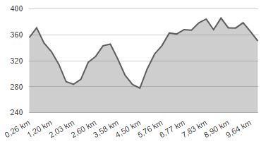
ELEVATION 300m |
LOWEST POINT 272m |
HIGHEST POINT 397m |
Jesenje – Route 1
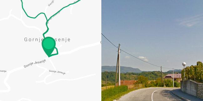
Gornje Jesenje - Mrzljak - Donji Lužani - Lonjaši - Ivaki - Forjani - Vidikovac Gorica - Cerovečki - Gornje Jesenje

Route 1 starts in the town centre of the highest Zagorje municipal seat of Gornje Jesenje on Strahinjčica, briefly leads to the east, and then turns slightly uphill to the north. After 500 metres, it forks in two directions – to the north and east. If you head east, there is a steep descent first, with a difference in elevation of 110 metres, to the hamlet of Mrzljak, followed by a ride uphill to the hamlet of Lonjaši. There you have to make a sharp left turn and back, on another local road downhill again to Mrzljak. Here you have to take a right turn uphill, to the Gorica vantage point, at an altitude of 400 metres above sea level. Then you have to take a left turn, 3.5 km downhill, back to Gornje Jesenje. The whole route runs on picturesque narrow paved local roads with little motor traffic, passing through picturesque hamlets with numerous breathtaking vistas. However, due to the many steep inclines – both uphill and downhill – it is only suitable for physically fit cyclists.


