Find the route for you

|

|

|

|

|

|

|

|

|

|

|

|
RANGE Local routes |
TYPE Line |
LENGTH 4.1km |
SURFACE Mostly asphalt |
DIFFICULTY 1/5 |
POSITION south-east |
MARKS Local |
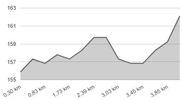
ELEVATION 30m |
LOWEST POINT 155m |
HIGHEST POINT 163m |
Marija Bistrica – Route 6
Tugonica - Podgrađe - Selnica

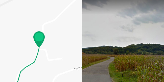
Route 6 is the only line route in the municipality of Marija Bistrica, linking routes 5, 7 and 8. The starting point is in Tugonica, from where the route continues through the river Krapina plain for 500 metres westward. Once you reach the busy D-29 state road, turn right and ride with caution down the state road for 200 metres. Take a left turn, onto the gravel road and ride for 800 metres to Podgrađe. Here you should turn right and, after 900 metres, make another right towards the hamlet of Kutani. After a short ride on the paved road, the route continues for 600 metres to the west on a gravel road along the southern edge of the Krapina river valley, and then turns into an 800-metre-long dirt road to Selnica, where the route ends. Although almost completely flat, this route is suitable only in dry weather due to the large dirt road sections.


