Find the route for you

|

|

|

|

|

|

|

|

|

|

|

|
RANGE Local routes |
TYPE Circular |
LENGTH 5.5km |
SURFACE Mostly asphalt |
DIFFICULTY 1/5 |
POSITION south-east |
MARKS Local |
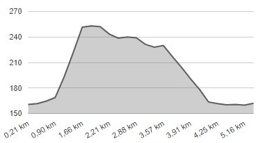
ELEVATION 120m |
LOWEST POINT 159m |
HIGHEST POINT 255m |
Marija Bistrica – Route 7
Podgrađe - Jelačići - Selnica - Kutani - Podgrađe

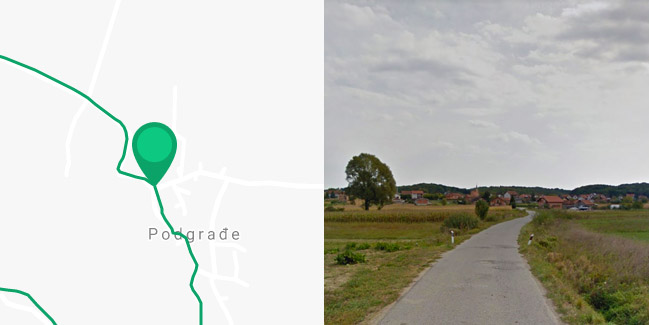
The starting point of Route 7 is in Podgrađe, from where it extends southwards, along a quiet local paved road. For the first kilometre, you pass through the plain by the Bistrica stream. The route, then, swerves to the right. After riding for a kilometre uphill, with an altitude difference of 80 metres, there is a 700-metre long dirt road section. Path leading westwards is a paved road which goes through a beautiful hilly landscape, first along the top of the hill, and then descending to the hamlet of Kutane in the Krapina valley. Here, the route shifts to the right. After a 1.5-kilometre-long ride, mostly on gravel road, it returns to Podgrađe. Because of the many dirt road sections, this route is also suitable only for users of mountain bikes.


