Find the route for you

|

|

|

|

|

|

|

|

|

|

|

|
RANGE Local routes |
TYPE Circular |
LENGTH 10km |
SURFACE Mostly asphalt |
DIFFICULTY 2/5 |
POSITION south-east |
MARKS Local |
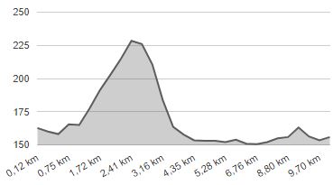
ELEVATION 190m |
LOWEST POINT 146m |
HIGHEST POINT 230m |
Marija Bistrica – Route 8
Lojzekova hiža' - Pogari - Hanžeki - Pozaići - Selnica - 'Lojzekova hiža'

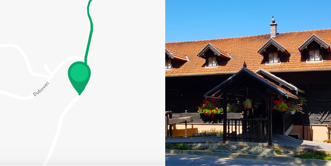
The westernmost Bistrica route has its starting point in the village of Dubovec near the famous restaurant ‘Lojzekova hiža’. This route is also a circular type route, with the exception of the first 700 metres of the Route from ‘Lojzekova hiža’ to Selnica, which stretches in the municipality of Gornja Stubica. In Selnica, the route forks in two directions. The recommended path is to first turn right towards the east, then make a left turn after 600 metres up the hill for 1.2 km to the hamlet of Srebačići. The ride uphill is soon followed by a sharp descent into the Krapina valley, where you should turn left westward along the plain through the hamlet of Hanžeki to the local road Selnica – Poznanovec. Here the route turns left again and after 3 km of riding on mostly flat terrain, it loops back to Selnica and returns to the right to the starting point at ‘Lojzekova hiža’. As the route is entirely on paved roads, it is suitable for all types of bicycles.


