Find the route for you

|

|

|

|

|

|

|

|

|

|

|

|
RANGE Local routes |
TYPE Circular |
LENGTH 13.9km |
SURFACE 100% asphalt |
DIFFICULTY 2/5 |
POSITION north-west |
MARKS Local |
ELEVATION 290m |
LOWEST POINT 188m |
HIGHEST POINT 300m |
Zagorska Sela – Touring the Hills of Zagorje
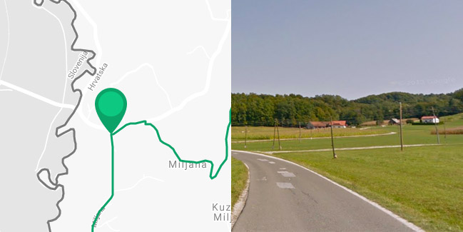
Miljana - Kuzminec Miljanski - Zagorska Sela - Plavić - Miljana
The ‘Hills of Zagorje’ Route also starts in Miljana and exclusively trails paved roads without much motor traffic. It is a circular-type route and a bit more challenging one due to the steeper slopes, however. You’ll be met with the first challenge right at the beginning, where after 300 metres of cycling along the County Road towards Desinić, you need to turn sharply right and go uphill on the local road. A 100-metre difference in elevation will prove challenging. You’ll have to push your bicycle for sections of the road here as well, but after that, you’ll be able to enjoy beautiful views of the valley of the Sutla and the calming forest scenery. Turn right at the top of the hill in Kuzminec Miljanski, 3.7 km from the starting point, cycle for 3.6 km along the ridge of the hill, and then turn right again in Brezakovec downhill towards Sutla in the direction of the seat of the municipality of Zagorska Sela. The last 4.8 km of the route, coming back to the starting point in Miljana, follows a mostly flat section of the state road D-229, which is a bit narrower and less busy, which makes cycling among the beautiful hills of Zagorje thoroughly enjoyable.


